Historical SDCI Maps for the Carolinas ◼
Drag slider to show more of each map ![]()
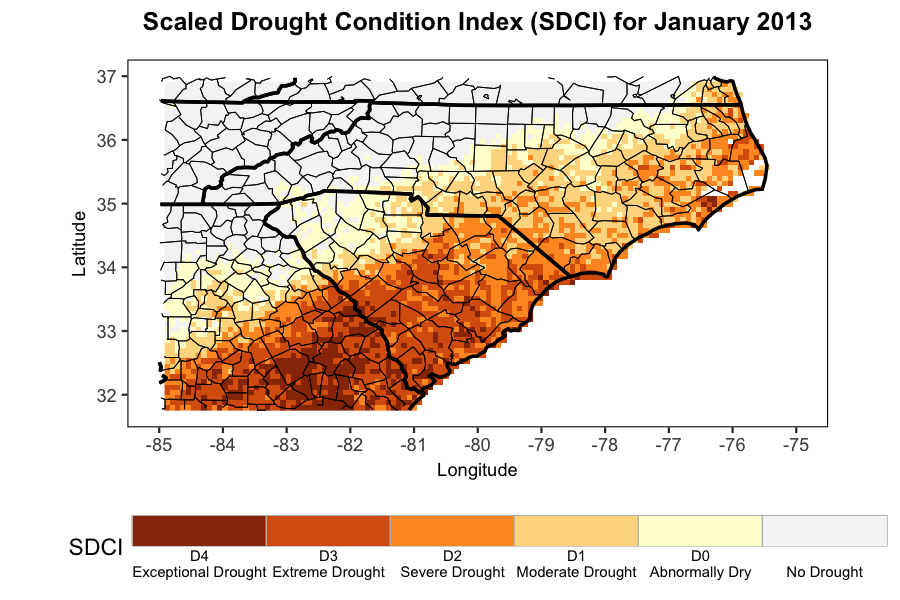
Data Source: 4-km gridded PRISM precipitation dataset, PRISM Climate Data
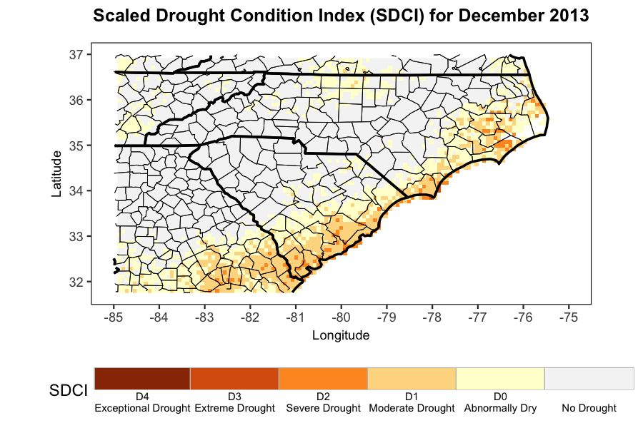
Drag slider to show more of each map ![]()
Data Source: 4-km gridded PRISM precipitation dataset, PRISM Climate Data