CISA's Story Maps
The CISA team creates story maps to share information about climate and its impacts in the Carolinas with stakeholders, decision makers, resource managers, and local interest groups.
More than Drought: Condition Monitoring for Weather of All Types
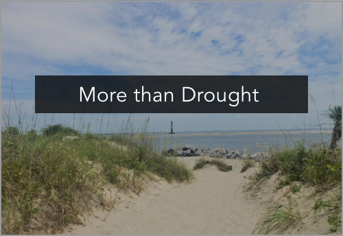
The More than Drought story map summarizes research conducted by the CISA team to investigate how CoCoRaHS Condition Monitoring might inform other types of agency weather and climate monitoring and reporting, in addition to its original design for drought monitoring. The story map shares results of the comparison of Condition Monitoring reports with agency reports from the National Weather Service, the NC and SC State Climate Offices, and the Southeast Regional Climate Center. Maps and timelines show similarities in the content, scale, location, and times of reports.
CISA Collaborators
Amanda Farris, Kirsten Lackstrom
Project Partners
- Community Collaborative Rain, Hail, and Snow (CoCoRaHS) network
- National Integrated Drought Information System
Focus Area
Water Resources
CoCoRaHS Condition Monitoring
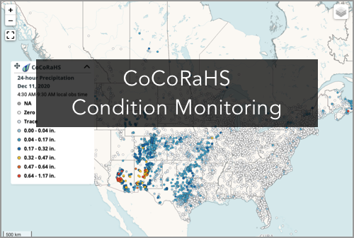
The CoCoRaHS Condition Monitoring story map describes a citizen science program created by the CISA team and how it contributes to drought impacts monitoring and reporting throughout the U.S. The story map shows the evolution of the program from a pilot in the Carolinas to a source of drought impacts information nationally. Viewers will also learn how reports are used by organizations such as the National Weather Service, state climate offices, and U.S. Drought Monitor authors.
CISA Collaborators
Amanda Farris, Kirsten Lackstrom
Project Partners
- Community Collaborative Rain, Hail, and Snow (CoCoRaHS) network
- National Integrated Drought Information System
- National Drought Mitigation Center
- State Climate Office of North Carolina
- South Carolina State Climatology Office
Focus Area
Water Resources
Fire in the Coastal Carolinas
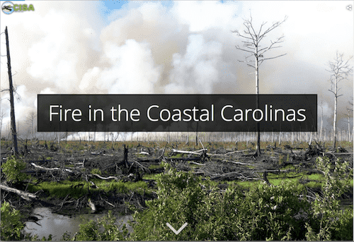
In 2017, CISA began providing support to the State Climate Office of North Carolina to expand the Coastal Carolinas DEWS Coastal Zone Fire Risk Assessment project conducted in 2014-2015. Project goals include improving the monitoring of soil moisture in coastal areas; enhancing the Fire Weather Intelligence Portal to better address coastal fire conditions and risks; assessing coastal zone fire risk indicators; and helping resource managers use new coastal zone monitoring data and information for drought management and planning decisions.
CISA Collaborator
Kirsten Lackstrom
Project Partner
- State Climate Office of North Carolina
Focus Area
Coastal Climate; Water Resources